Jamaica Bay and the Rockaways
 Hiking Trails
View Hiking Trails for all Parks
| Name | Location | Park Name | Length |
|---|---|---|---|
| Salt Marsh Nature Trails | Enter behind the Salt Marsh Nature Center, located near the intersection of East 33rd Street and Avenue U. | Marine Park | 0.8 miles |
| Difficulty | Other Details | Accessible | Limited Access |
| The first half of this mile-long trail follows the shore of Gerritsen Beach, which empties into Jamaica Bay. The trail’s second leg winds through a prairie of tall grass, where you can sometimes spot cottontail rabbits and ring-necked pheasants. Check out our Marine Park Trails page for a map and directions to scenic locations, and comfort stations and maps are also available inside the Salt Marsh Nature Center. |  | ||
| Name | Location | Park Name | Length |
| Canarsie Park Hiking Trail | Check out our Canarsie Trails page for a map featuring entrances and directions to scenic locations. | Canarsie Park | 0.5 miles |
| Difficulty | Other Details | Accessible | Limited Access |
| Easy | The Canarsie blue loop trail is just over half a mile long and circles the wetland area at the eastern side of Canarsie Park. | ||
| Name | Location | Park Name | Length |
| Paerdegat Basin Hiking Trails | Check out our Paerdegat Basin Trails page for a map featuring entrances and directions to scenic locations. | Paerdegat Basin Park | |
| Difficulty | Other Details | Accessible | Limited Access |
| Moderate | |||
| Name | Location | Park Name | Length |
| Bayswater Park Hiking Trails | Check out our Bayswater Trails page for a map featuring entrances and directions to scenic locations. | Bayswater Park | 0.25 miles |
| Difficulty | Other Details | Accessible | Limited Access |
| Moderate | From the playground of Bayswater Park, follow the painted signs on the ground into the fields. Where the Sidewalk ends, across the field a large wooden post marks the beginning of the trail. | ||
| Name | Location | Park Name | Length |
| McGuire Fields Park Hiking Trails | Check out our McGuire Fields Park Trails page for a map and directions to scenic locations. | McGuire Fields Park | Various |
| Difficulty | Other Details | Accessible | Limited Access |
| Various | The Park’s diverse habitat and position along the Atlantic Flyway make these trails a perfect spot for bird watching, plus enjoy sweeping vistas of Paerdegat Basin and the lower Manhattan Skyline. | ||
| Name | Location | Park Name | Length |
| Spring Creek Park Hiking Trails | Check out our Spring Creek Park Trails page for a map and directions to scenic locations. | Spring Creek Park | 1.2 miles |
| Difficulty | Other Details | Accessible | Limited Access |
| Easy | Stroll through marshland in the largest tract of undeveloped land and wetlands in the northern Jamaica Bay area, and see the many wildlife species that call this open greenery home. | ||
| Name | Location | Park Name | Length |
| Fresh Creek Nature Preserve Hiking Trails | Check out our Fresh Creek Nature Preserve Trails page for a map and directions to scenic locations. | Fresh Creek Nature Preserve | 1 mile |
| Difficulty | Other Details | Accessible | Limited Access |
| Easy | Wind past a 42-acre salt marsh. Take in the beauty of the preserve and some of the 325 species of birds that visit Jamaica Bay every year, along with butterflies, aquatic life, and native salt marsh plants. | ||
| Name | Location | Park Name | Length |
| Jamaica Bay Park Hiking Trail | Check out our Jamacia Bay Park Trails page for a map featuring entrances and directions to scenic locations. | Jamaica Bay Park | Various |
| Difficulty | Other Details | Accessible | Limited Access |
| Jamaica Bay is an 18,000-acre wetland estuary surrounded by the Rockaway Peninsula to the South, Brooklyn to the West, and Queens to the East. | |||
| Name | Location | Park Name | Length |
| Dubos Point Wildlife Preserve Hiking Trails | 60-3 De Costa Ave, Arverne, NY 11692 | Jamaica Bay Park | |
| Difficulty | Other Details | Accessible | Limited Access |
| Easy | Immerse yourself into this salt marsh sanctuary, bring your binoculars, and see the natural beuaty of Jamaica Bay. Check out our Dubos Point Wildlife Preserve Trails page for a map featuring entrances and directions to scenic locations. | ||
| Name | Location | Park Name | Length |
| Broad Channel American Park & Sunset Cove Park Hiking Trails | The Broad Channel American Park and Sunset Cove trails offer stunning views of the Manhattan skyline and includes over 15 acres of Forever Wild areas. Check out our Broad C | Broad Channel American Park & Sunset Cove Park | 0.5 mile |
| Difficulty | Other Details | Accessible | Limited Access |
| Easy | A waterfront marina with various acres of maritime upland and salt marshes. | |  |
| Name | Location | Park Name | Length |
| Rockaway Community Park Hiking Trails | The Rockaway Community Park hiking trail is continuously being restored and offers scenic views of Jamaica Bay. Check out our Rockaway Community Park Hiking Trails page for a map and di | Rockaway Community Park | Various |
| Difficulty | Other Details | Accessible | Limited Access |
| Medium | A natural preserve offering scenic wetlands, walking trails, and abundant bird watching opportunities along the shores of Jamaica Bay | | |

Check out your park's Vital Signs
Clean & Safe
$387.1M
Recent Investment
Green & Resilient
5.4K
Mapped Trees
Empowered & Engaged Users
Share your feedback or learn more about how this park is part of a
Vital Park System![]()

Know Before You Go
Ecology Park is a five acre site set within Paerdegat Basin Park. The goal of the park is to promote habitat restoration and ecological improvement, highlighting fourteen native plant community types that exist or once existed in New York City.
Ecology Park is only open at certain times of year when Parks staff are present in order to protect this unique landscape. Want to visit? Check out our Stewardship Projects page for restoration, planting, and educational events.
Ecology Park is only open at certain times of year when Parks staff are present in order to protect this unique landscape. Want to visit? Check out our Stewardship Projects page for restoration, planting, and educational events.
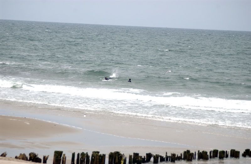
The following beach sections are open for swimming:
Beach 9 - Beach 12, Beach 15 - Beach 18, Beach 32 - Beach 36, Beach 57, Beach 59 - Beach 66, Beach 75 - Beach 87, Beach 93 - Beach 110, and Beach 115 - Beach 144.
All other sections are closed to swimming.
Beach 9 - Beach 12, Beach 15 - Beach 18, Beach 32 - Beach 36, Beach 57, Beach 59 - Beach 66, Beach 75 - Beach 87, Beach 93 - Beach 110, and Beach 115 - Beach 144.
All other sections are closed to swimming.
Partner Organization

%7Cutmcsr%3D(direct)%7Cutmcmd%3D(none)%3B%2B__utmv%3D98522682.-%3B)