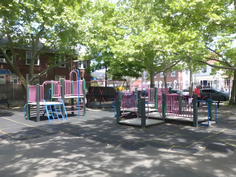
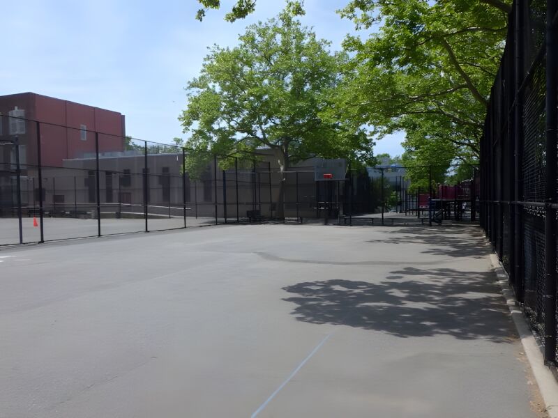
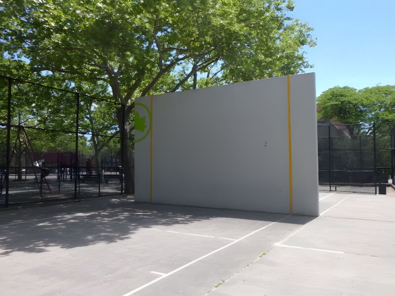
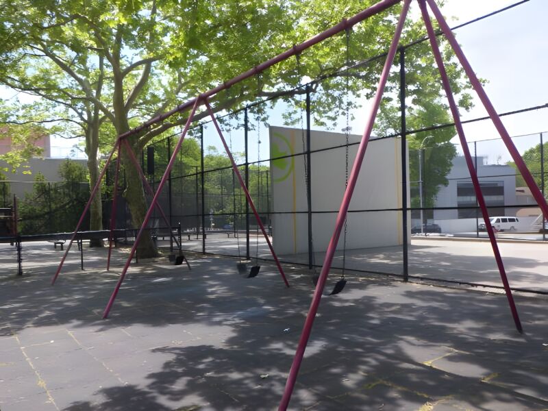
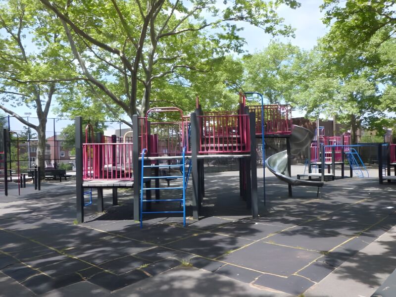
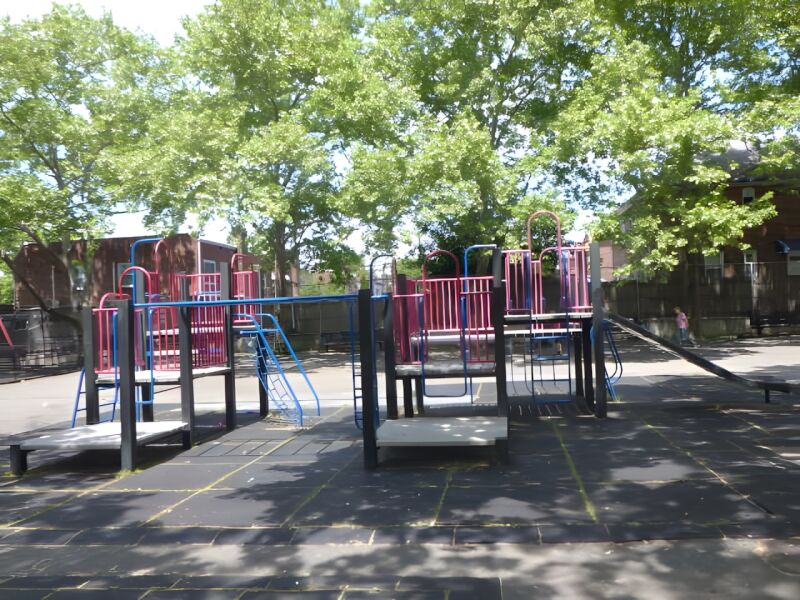
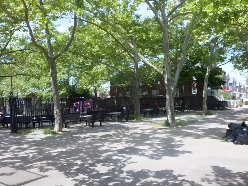
Francis Lewis Playground
Francis Lewis Blvd., 201 St. bet. 42 Ave. and Station Rd.
Queens
Directions via Google Maps
This text is part of Parks’ Historical Signs Project and can be found posted within the park.
What was here before?
The area now known as Bedford-Stuyvesant was originally inhabited by the Canarsie. In the 1630s and 1640s, the Dutch West India Company colonized the area, naming it Bedford. It began as a farming village populated by Dutch families and enslaved Africans. By 1790, over a quarter of Bedford's residents were of African descent.
Stuyvesant Heights was named for the last Dutch Director General of New Amsterdam, Peter Stuyvesant (1592-1672). Stuyvesant granted the land patents for this land in 1664.
Show Disclaimer
This map is designed to represent parks as they are used by the public. It should not be used to represent the legal boundaries of property under Parks jurisdiction. If you would like to view all City property under the jurisdiction of NYC Parks, please visit NYC OpenData.


Highlights

Check out your park's Vital Signs
Clean & Safe
No recent capital investment.
Green & Resilient
18
Mapped Trees
No natural areas present at this site.
Empowered & Engaged Users
No recent or upcoming events.
No active volunteer groups.
Share your feedback or learn more about how this park is part of a
Vital Park System![]()
 |
%7Cutmcsr%3D(direct)%7Cutmcmd%3D(none)%3B%2B__utmv%3D80567434.-%3B)